 Mirë se erdhët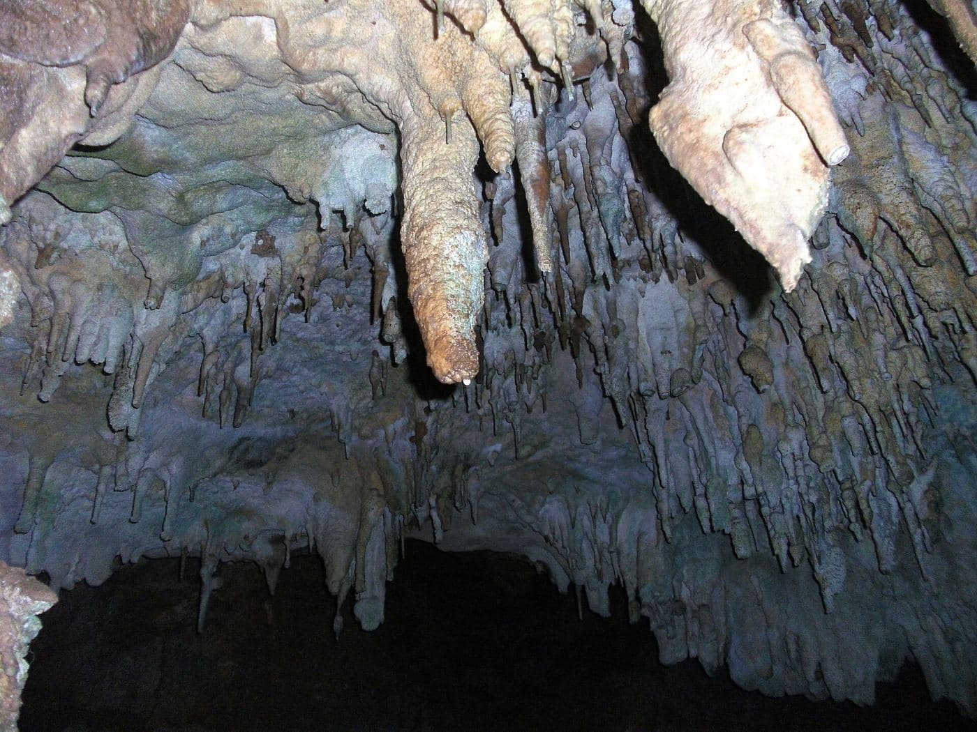


Gadime Marble Cave
Karst limestone cave in Gadime e Ulët (Lipjan), found in 1966 by a villager; much of it is still unexplored.
Places worth the detour, with directions and full guides.
Karst limestone cave in Gadime e Ulët (Lipjan), found in 1966 by a villager; much of it is still unexplored.
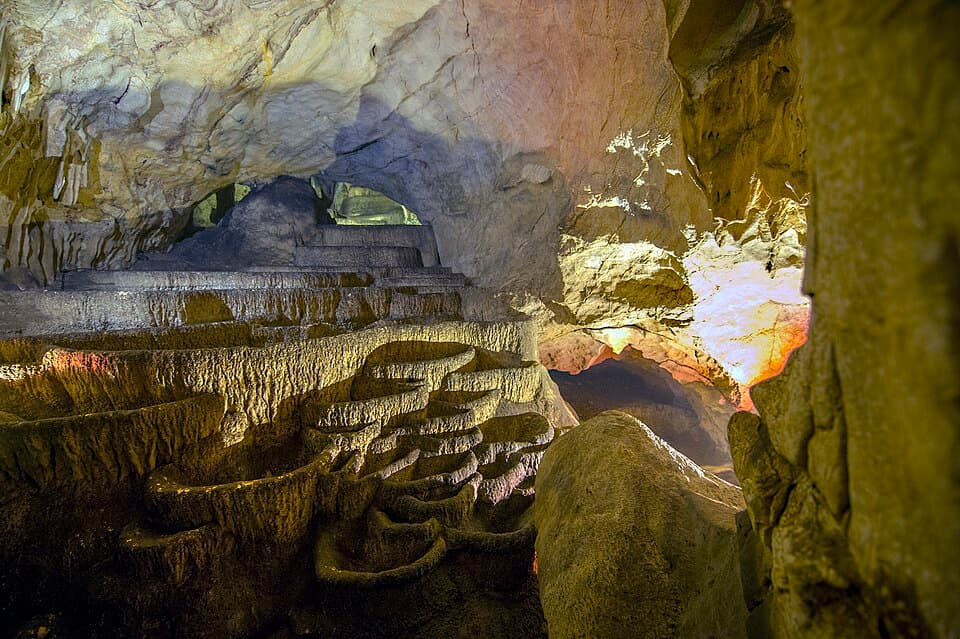


About 11 km from Peja: the multi-level Bukuroshja e Fjetur cave, next to the spring of the White Drin and its waterfall.
Photo: Arben Llapashtica, CC BY-SA 4.0 (Wikimedia Commons)
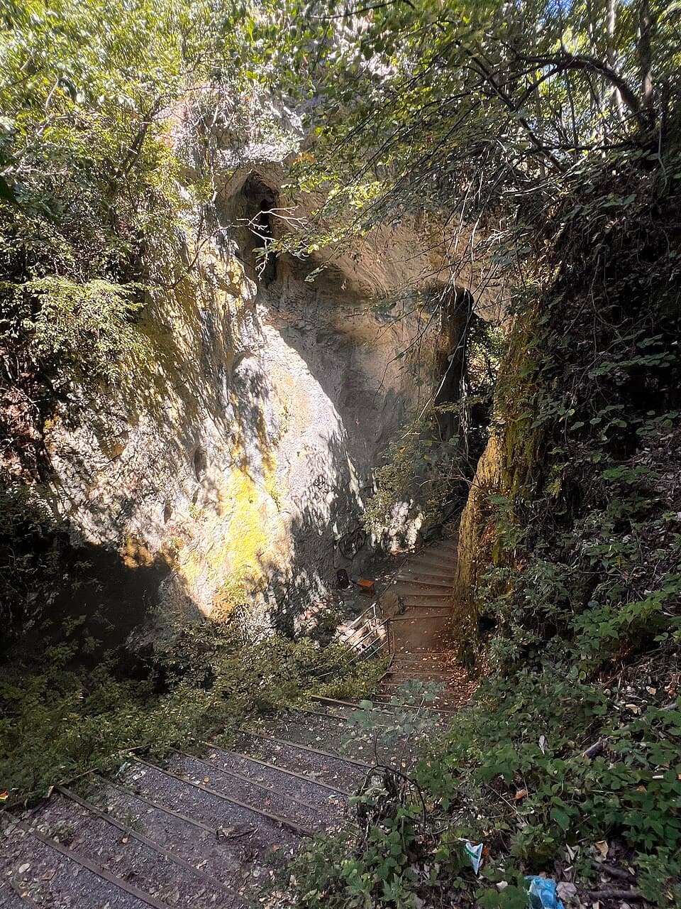
Karst cave and protected natural monument at the foot of the Pashtrik mountains, about 9 km from Gjakova and 1 km from Kusar, at 501 m. It has three entrances and a stepped rock path laid out by the municipality.
Known locally as the 'Cave of the Breeze', about 3 km south of Panorc; cavers mapped about 956 m of passages in 2000. It sheltered refugees during the war. There is no signage or lighting yet.
Crystal cave near Pjetërshticë, about 20 minutes from Shtime, found by village children in September 2003. Researchers reached 185 m before the passages became too narrow to pass without damaging the crystals.
Cave in Bresalc village, Gjilan, listed as a cultural heritage monument of Kosovo.
Huge cave system at the 8th kilometre of the Rugova Gorge, 60 m above the Lumbardhi river, with underground rivers, lakes and stalactites; more than 16 km explored. Visits are for organised groups with some experience.
Archaeological cave above Vrellë in the Mokna mountains, lived in from prehistory to modern times; inside are pottery fragments, worked stones and a small lake fed by dripping stalactites.
Archaeological cave at the mouth of the Rugova Gorge, near the Patriarchate of Peć, valued for its history and biology.
One of the known caves of the Rugova Gorge, where archaeological remains of ancient humans have been found.
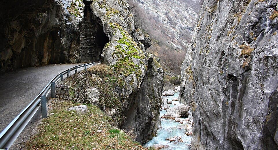


River canyon near Peja in the Albanian Alps, with hiking, climbing, caves and a via ferrata ('Iron Trail').
📍 DirectionsFull guide →Marimangat (via ferrata)
Photo: Ardianlumi, CC BY-SA 3.0 (Wikimedia Commons)
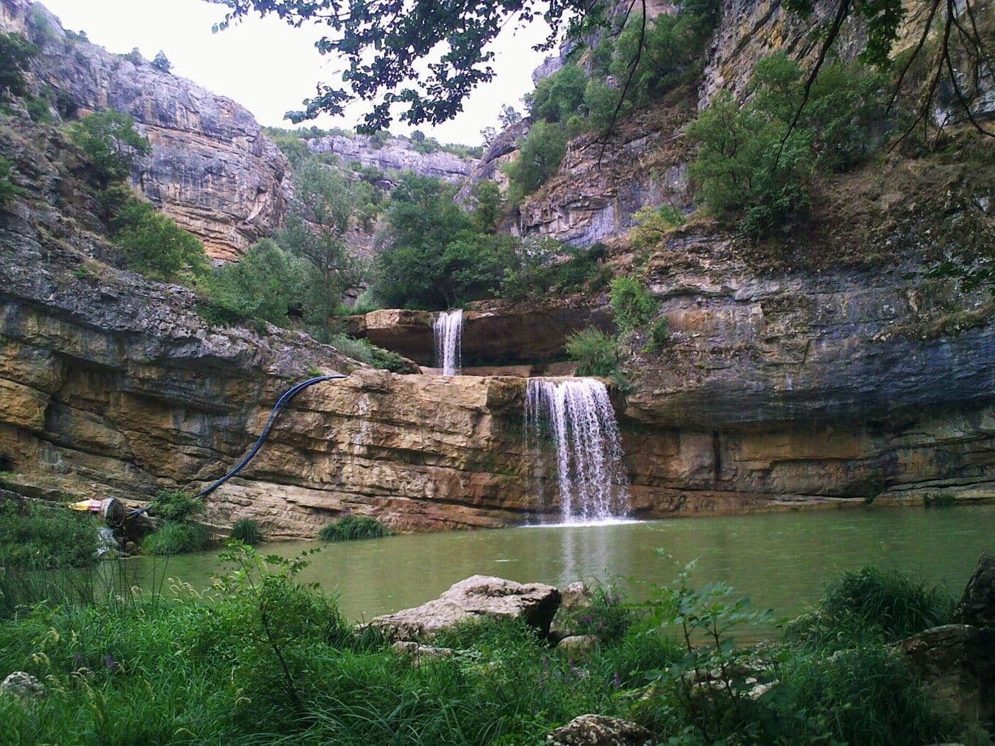


A 10 km canyon carved by the Mirusha River, with 13 lakes and waterfalls between them; People swim there in summer.
Waterfall in Stantërg, Shala e Bajgorës, about 9 km east of Mitrovica, fed by mountain water that joins the Trepça river; about 20 minutes on a rough footpath from the road.
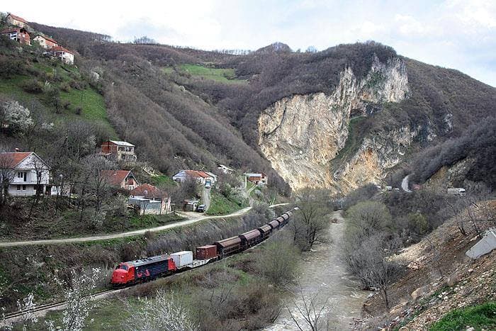
Gorge of the Lepenc river between the town of Kaçanik and the border with North Macedonia; a landmark of Albanian history as well as nature.
Photo: Shaban veliu, CC BY-SA 3.0 (Wikimedia Commons)
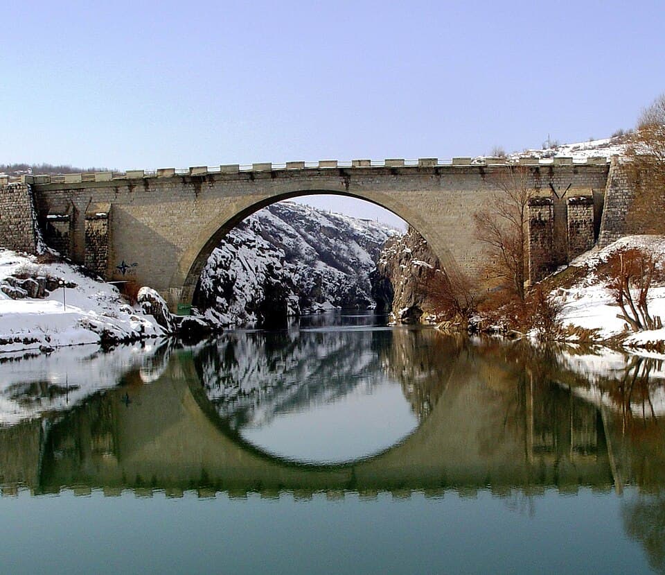
Protected natural monument (199 ha) in the White Drin canyon at Fshaj village, Gjakova: a natural rock bridge over the river. Often confused with 'Ura e Shenjtë'.
Photo: Musli Berisha, CC BY-SA 4.0 (Wikimedia Commons)
At Nerodime village the Nerodime river splits in two: one branch reaches the Aegean via the Lepenc and Vardar, the other the Black Sea via the Sitnica and Ibar. Visit Ferizaj calls it the only case in Europe of a river flowing into two seas.
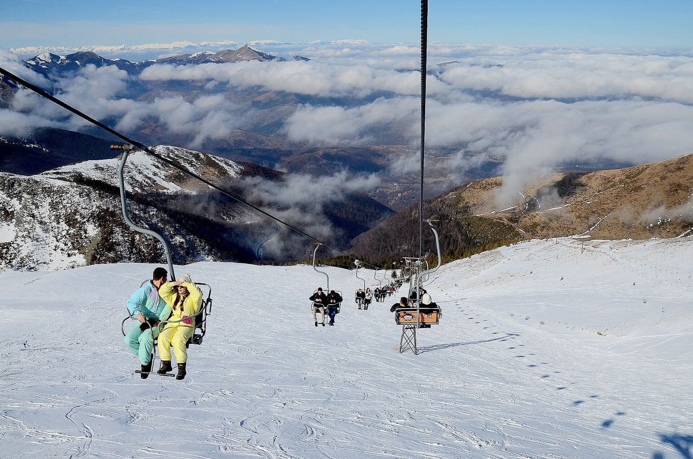
Kosovo's largest winter-sports centre, on the Sharr Mountains; hiking and biking in summer, with trails to Livadh Lake.
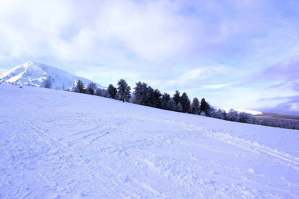


Ski resort and mountain village about 30 km from Prizren, inside the Sharr Mountains National Park.
Photo: Erson Zymberi, CC BY-SA 3.0 (Wikimedia Commons)
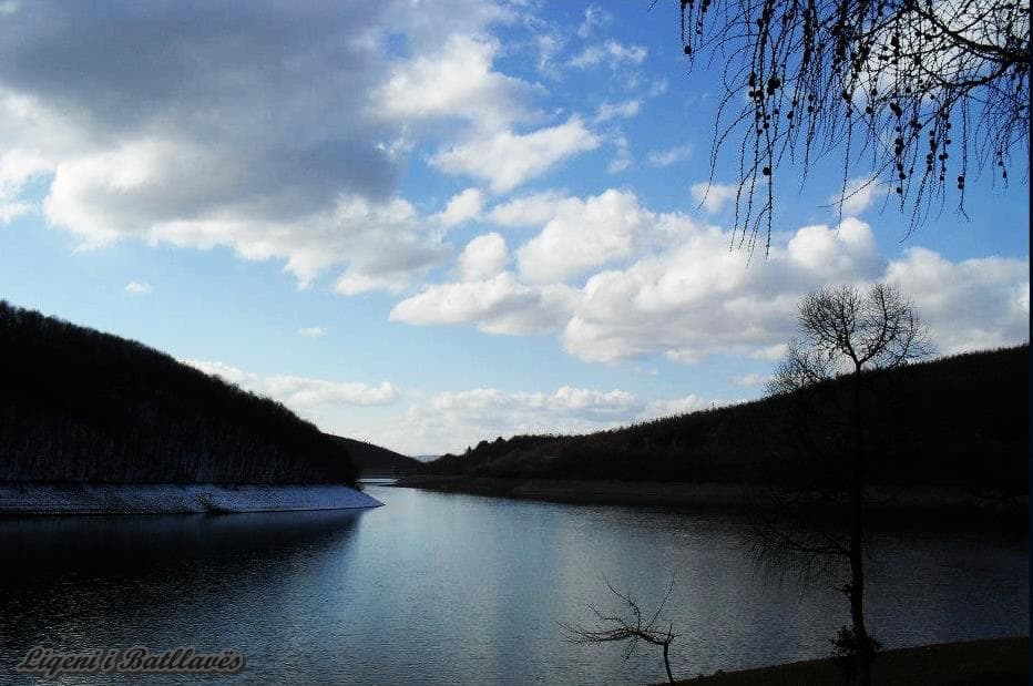


One of Kosovo's largest bodies of water (3.29 km²) in the northeast, a main summer bathing spot.
Photo: Samirasahitii, CC BY-SA 3.0 (Wikimedia Commons)
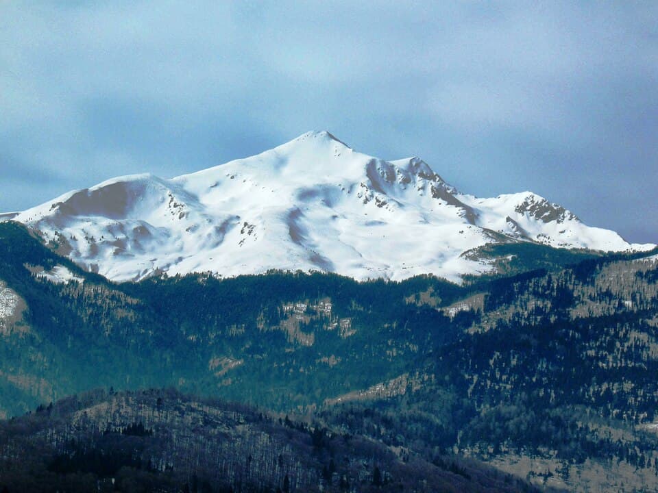


2,656 m, the second-highest peak of the Accursed Mountains, above Junik. A serious mountain hike; go with a guide.
Photo: Tamnavac, Public domain (Wikimedia Commons)
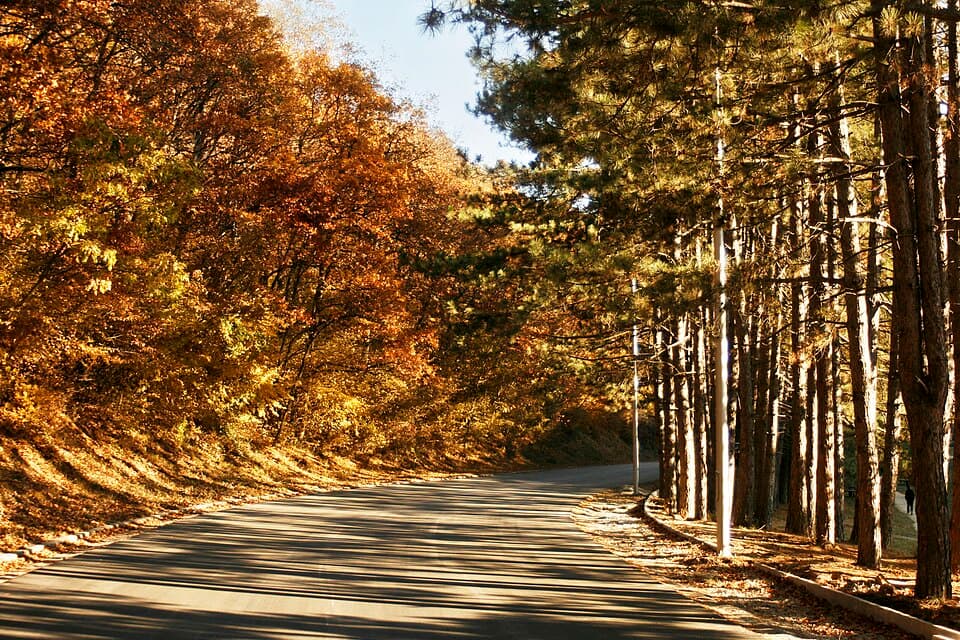


62 km² regional park on Prishtina's northeast edge, with forest trails and some 600 plant species.
Photo: Fitore Syla, CC BY-SA 3.0 (Wikimedia Commons)
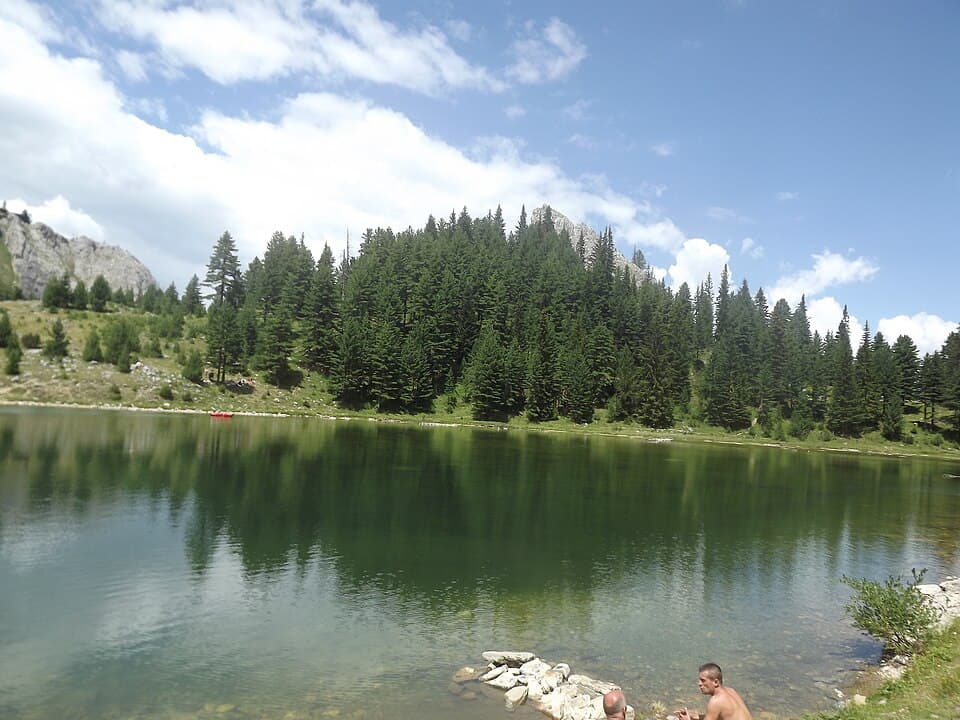


Mountain lake on Leqinat mountain in the Accursed Mountains above Rugova, also called Liqenati i Madh.
Photo: Quqja, CC BY-SA 3.0 (Wikimedia Commons)
2,403 m mountain on the Kosovo–Montenegro border, between the Rugova Gorge and the source of the Ibar.
Mountain range in the north toward the Serbian border: beech and fir forests, summer pastures and glacial lakes at 1,200–2,000 m. Trails are few and poorly marked, so go with a local guide.
One of the 13 villages of the Rugova mountain region above Peja, now a national park.
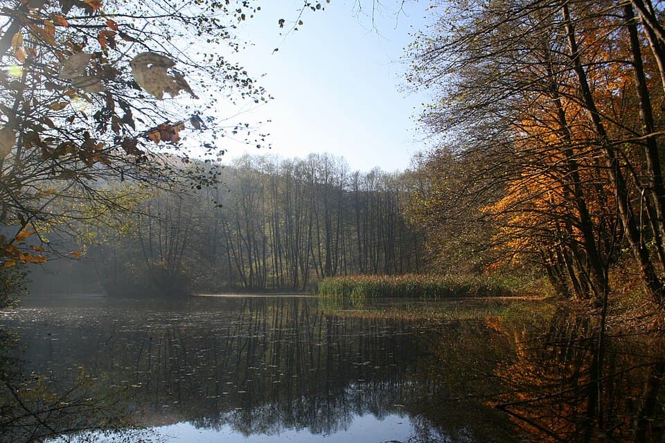


Special hunting reserve in hilly country about 32 km southwest of Prishtina, at 600–850 m.
Photo: Bujar I Gashi, CC BY-SA 3.0 (Wikimedia Commons)
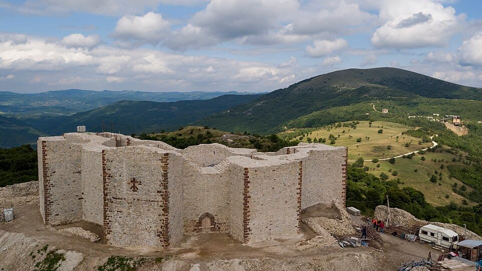
Ruins of a late-13th-century fortress about 40 km east of Prishtina, built to guard the area's silver and gold mines.
Photo: Arben Llapashtica, CC BY-SA 4.0 (Wikimedia Commons)
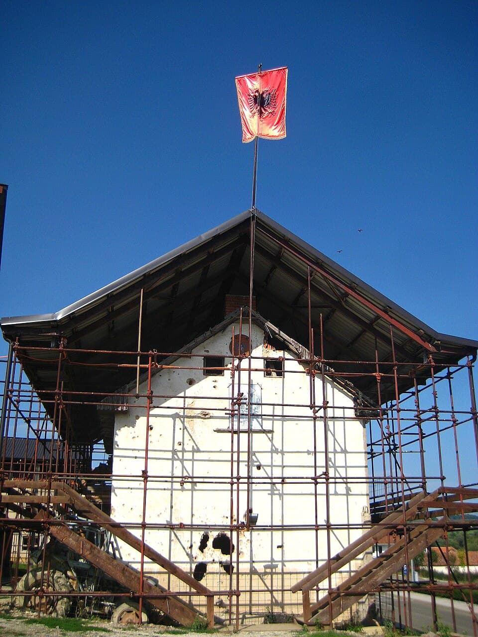
Memorial in Prekaz i Epërm (Skenderaj) honouring the Jashari family and KLA fighter Adem Jashari, killed in March 1998.
Photo: GentiBehramaj, CC BY-SA 4.0 (Wikimedia Commons)
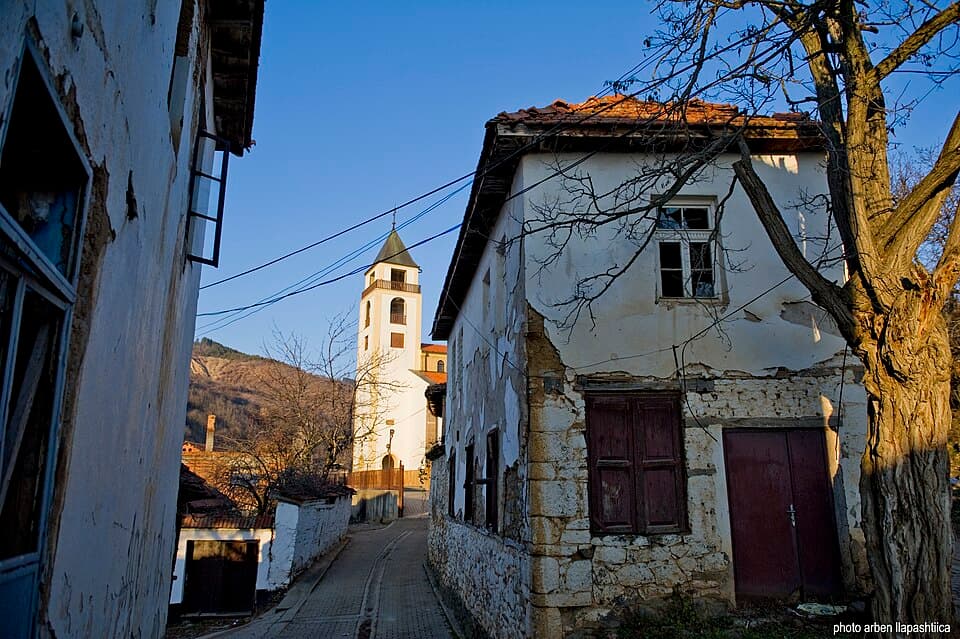
Old town in Lipjan municipality, recorded as a Catholic parish as early as 1303; before the war most residents were Croats (Janjevci).
Photo: Arben Llapashtica, CC BY-SA 3.0 (Wikimedia Commons)
Photos from the linked guide pages or Wikimedia Commons, credited on each card and on the credits page. /credits


