 Mirë se erdhët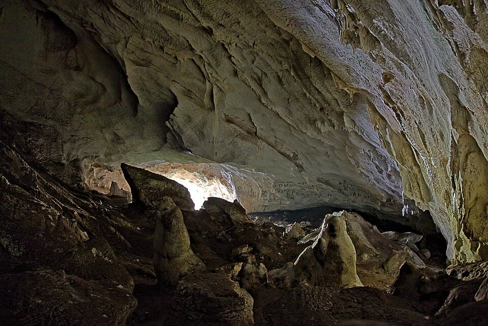
Shpella e Pirogoshit (Skrapar)
1,500 m long cave near Radesh village and Çorovodë in Skrapar.
Places worth the detour, with directions and full guides.
1,500 m long cave near Radesh village and Çorovodë in Skrapar.
Archaeological cave near Pëllumbas village outside Tirana, also called the Black Cave; studies show people lived here around 10,000 years ago.
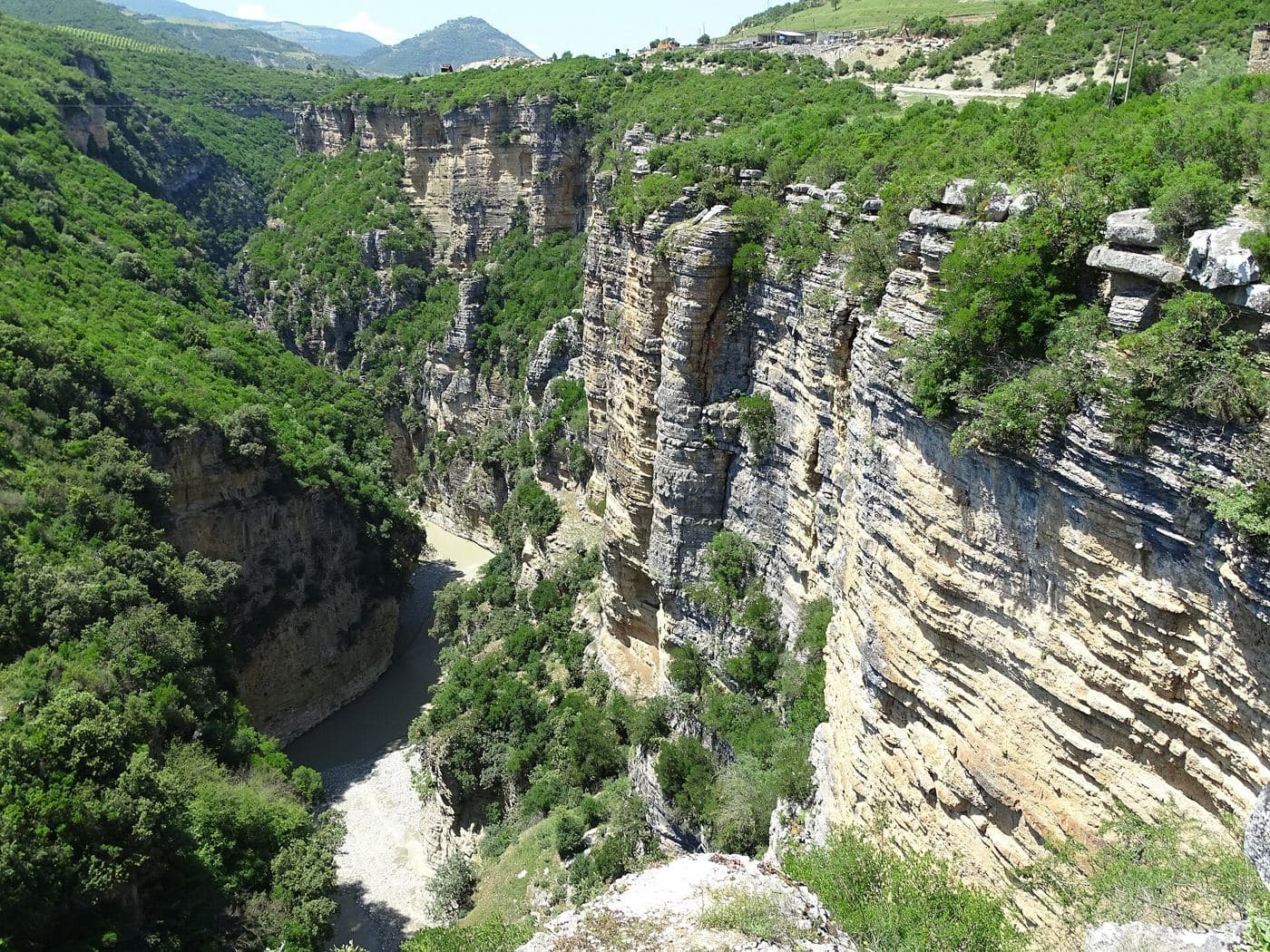
Canyon about 3 km long carved by the Holta river near Gramsh, with walls rising 100–150 m and clear water.
Photo: Genci AL, CC BY-SA 4.0 (Wikimedia Commons)
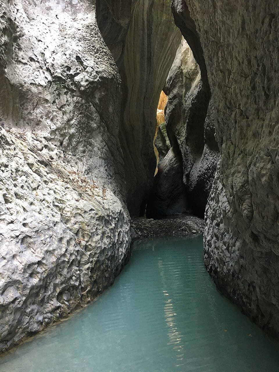
One of Albania's listed canyons, below Nivicë village in Kurvelesh, Tepelenë.
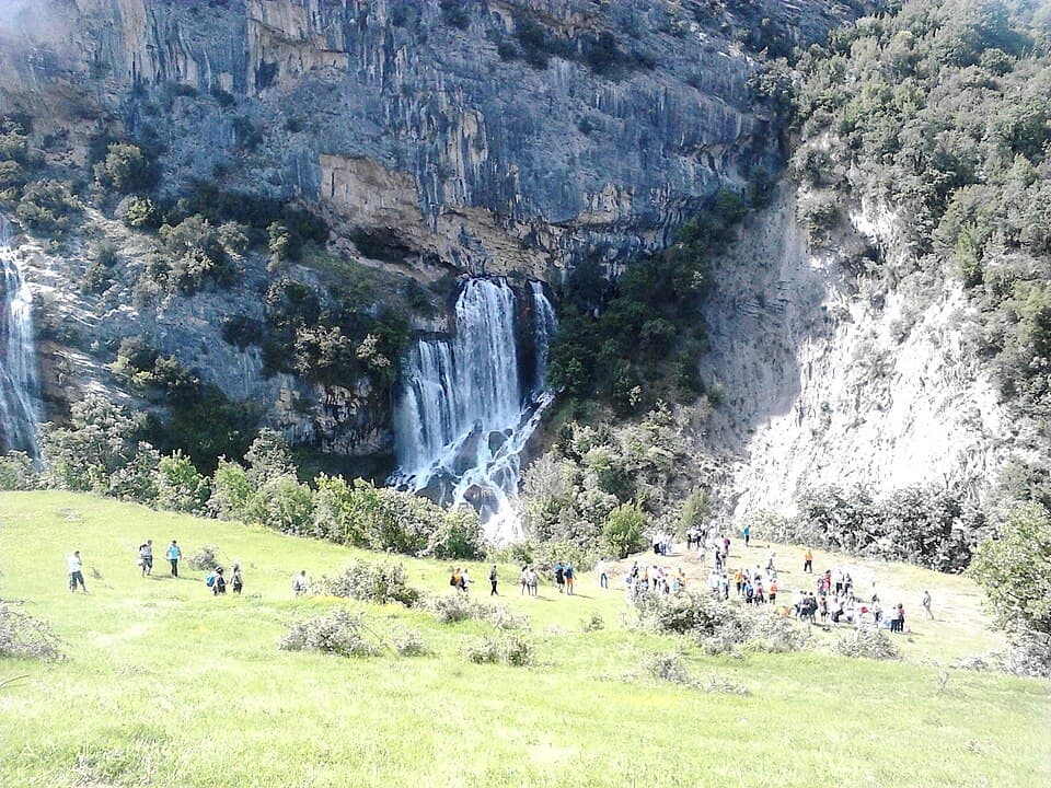
Waterfall on Mount Tomorr about 22 km from Gramsh, reached by about an hour's walk from Sotirë village.
Photo: Margott, CC BY-SA 3.0 (Wikimedia Commons)
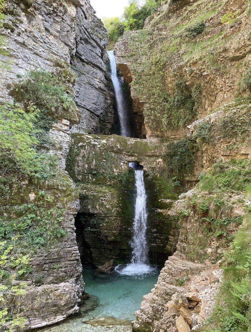
Waterfall at Progonat in the Tepelenë highlands, reached through rough, beautiful country.
Photo: Picsalb, CC BY-SA 4.0 (Wikimedia Commons)
Gorge cut by the Vjosë west of Këlcyrë, known from the 1940–41 Greco-Italian War.
8–10 karst springs pouring 400–500 litres a second on the left bank of the Vjosë near Këlcyrë, at the foot of Mount Dhëmbel.
Two-step waterfall (3–4 m each, with pools over 1 m deep) on the Orosh stream at Kryezi village, reached on the Fushë-Arrëz–Kryezi road.
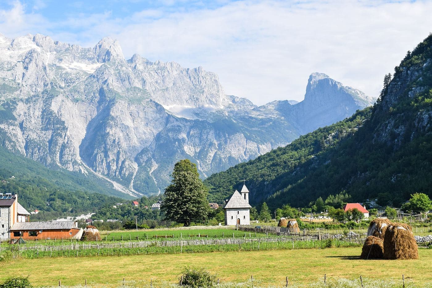
Alpine villages in the Accursed Mountains, linked by the classic one-day pass hike.
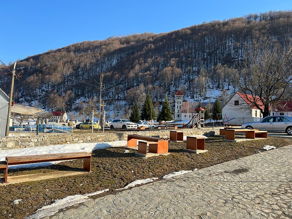
Albania's northernmost village, in a valley of the Albanian Alps in Kelmend, about 95 km from Shkodër.
Photo: Planeti, CC BY-SA 4.0 (Wikimedia Commons)
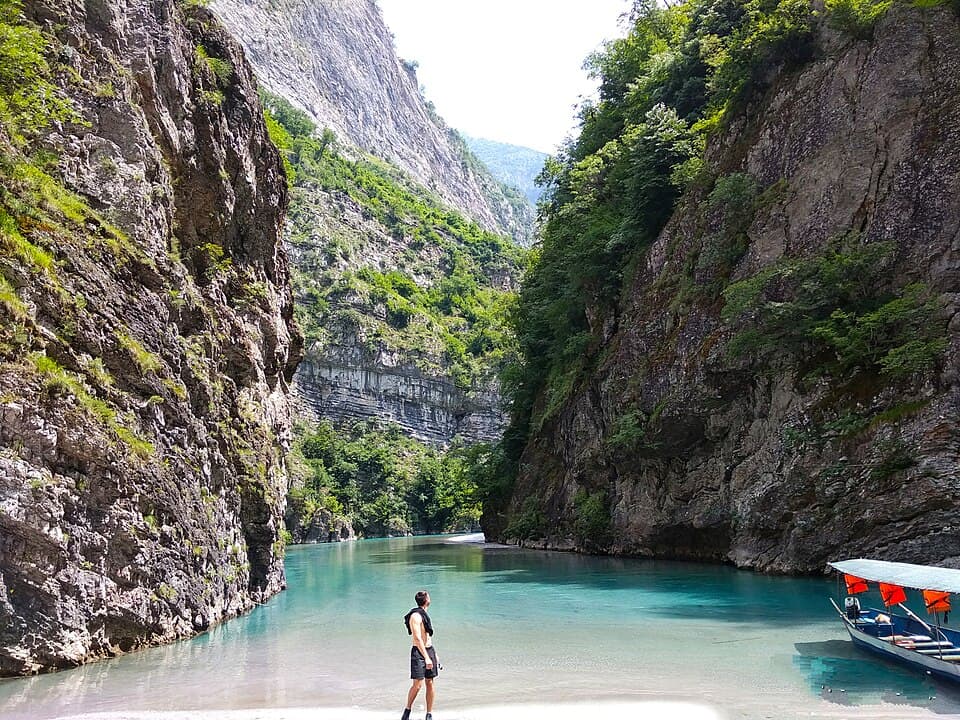
The upper valley of the Shala river, which rises near Theth inside the Alps of Albania National Park.
Photo: Ardit Marku, CC BY-SA 4.0 (Wikimedia Commons)
Old stone village of Nivicë in the Kurvelesh highlands, Tepelenë.
Highland area near Gjirokastër (now part of Libohovë). Sheper, the largest village, sits at 700–800 m under Mount Dhëmbel, 30 km from Gjirokastër; Hoshtevë is another Zagoria village.
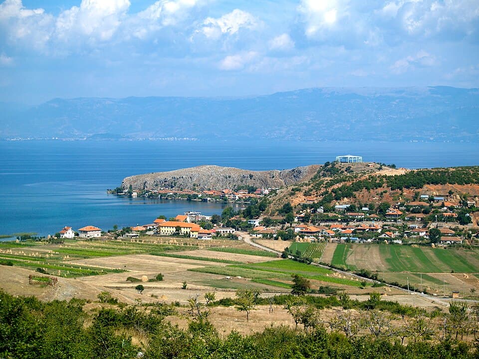
Lakeside village on a small peninsula of Lake Ohrid near Pogradec.
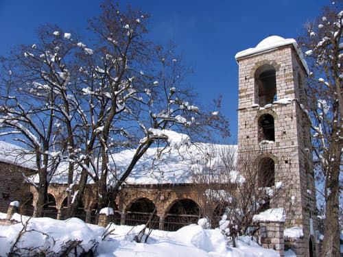
In the 18th century the cultural and trade centre of the Aromanians, with the first printing house in the Ottoman Balkans outside Constantinople; near Korçë.
Photo: Klajdidika, Public domain (Wikimedia Commons)
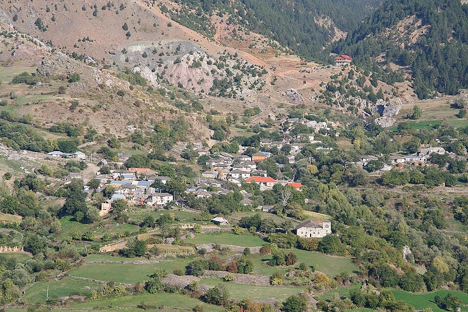
Aromanian mountain village in the former Lenie commune, Gramsh.
Photo: Petter Bjørstad, CC0 (Wikimedia Commons)
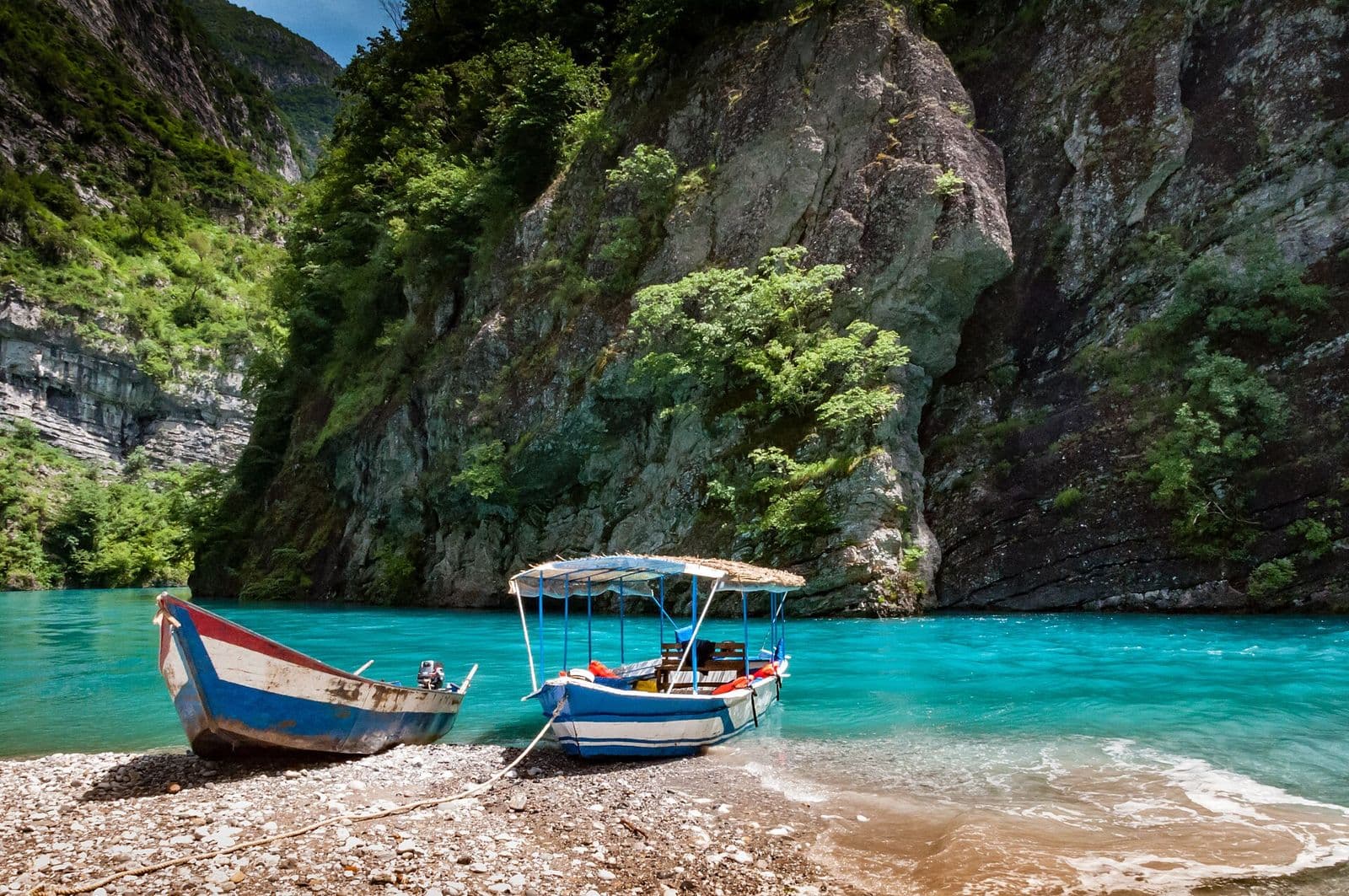
A fjord-like reservoir; the ferry ride is one of the Balkans' great boat trips.
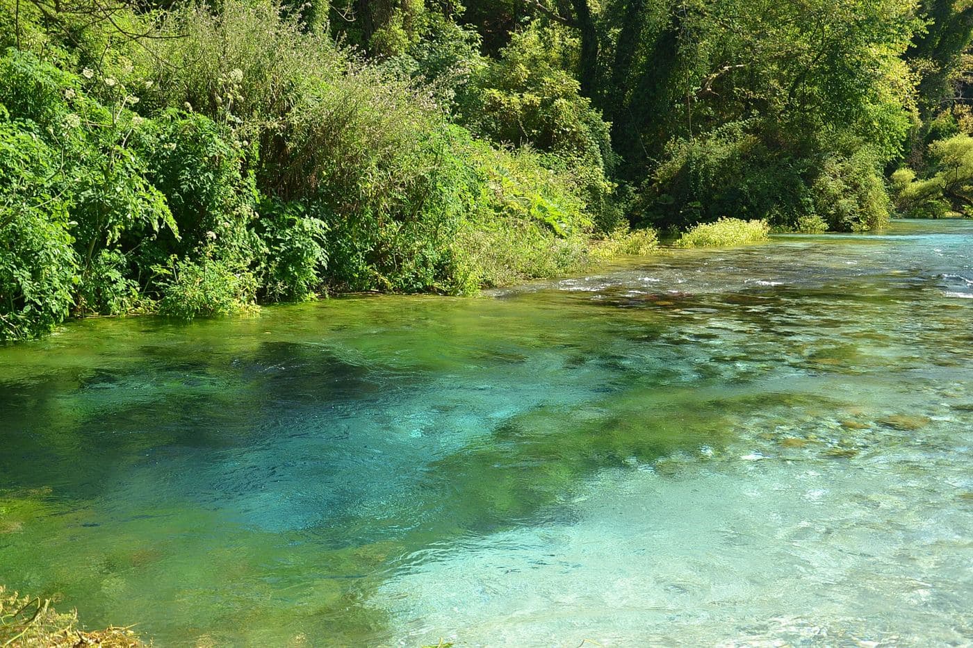
A deep, electric-blue karst spring between Sarandë and Gjirokastër.
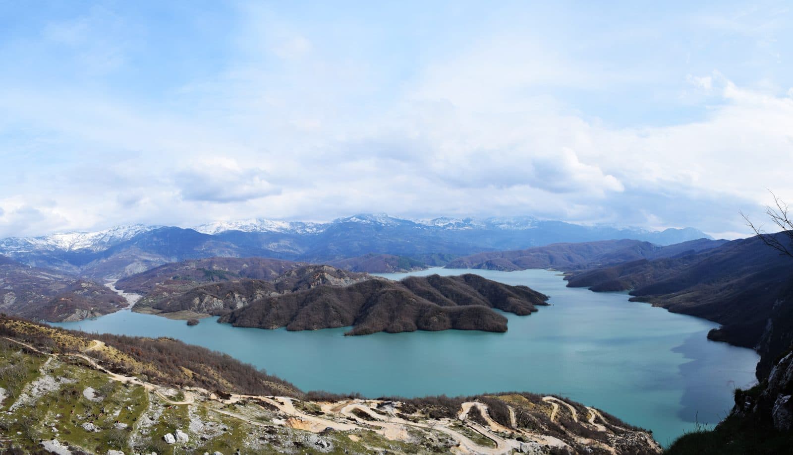
Turquoise reservoir with a ridge hike (Gamti) above it, close to Tirana.
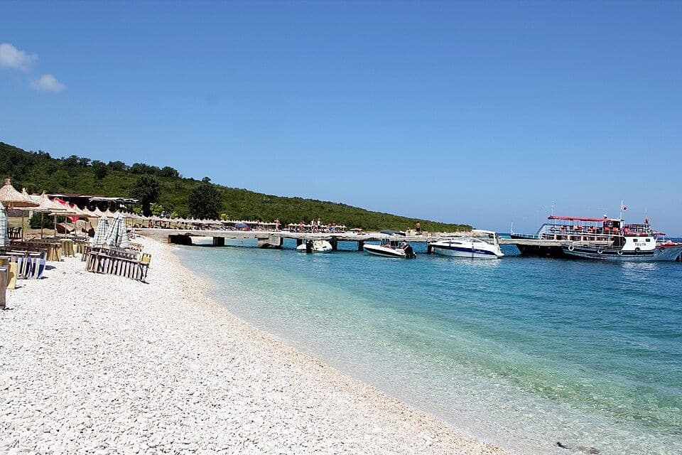 ⛵ Boat access
White-pebble bay on the Karaburun Peninsula near Vlorë, reached by boat from Vlorë or Orikum.
Photo: Arianit, CC BY-SA 4.0 (Wikimedia Commons)
Albania's largest lagoon (42 km²), inside Divjakë-Karavasta National Park, separated from the Adriatic by a strip of sand.
Adriatic lagoon just north of the Bay of Vlorë, separated from the sea by a narrow dune strip; known for its flamingos.
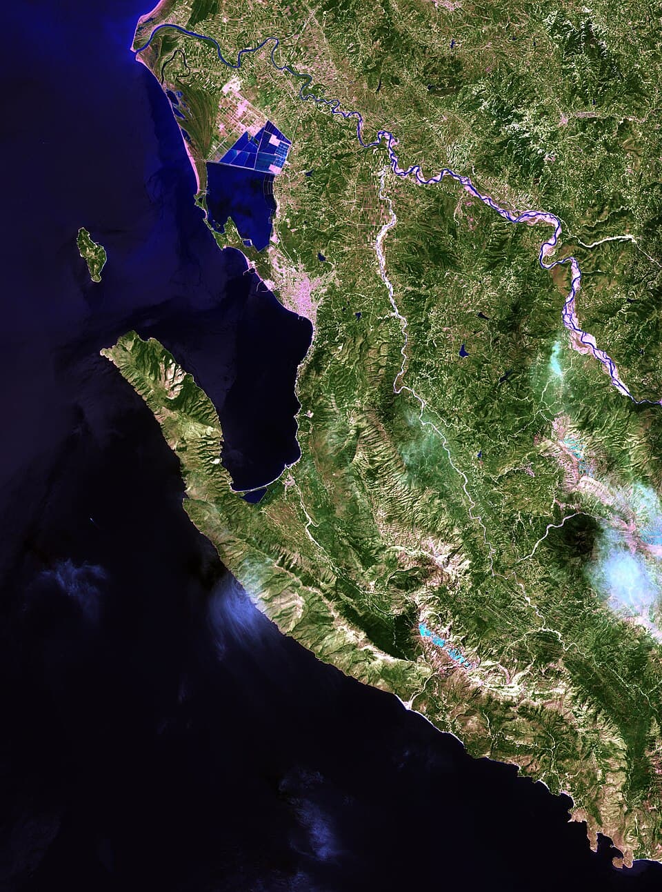
Peninsula between the Adriatic and Ionian seas west of Vlorë, with bays reached by boat (see Hidden beaches).
Photo: Landsat 8 (USGS/NASA), Public domain (Wikimedia Commons)
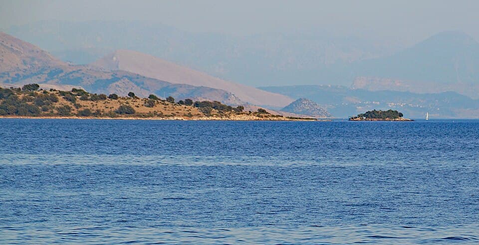
Cape and small islet in Xarrë, near the Greek border south of Sarandë, on the Ionian Sea.
Photo: Albinfo, CC BY-SA 4.0 (Wikimedia Commons)
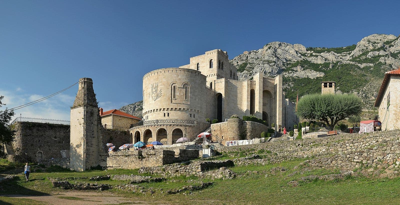
Skanderbeg's hilltop castle town and its old bazaar, an hour from Tirana.
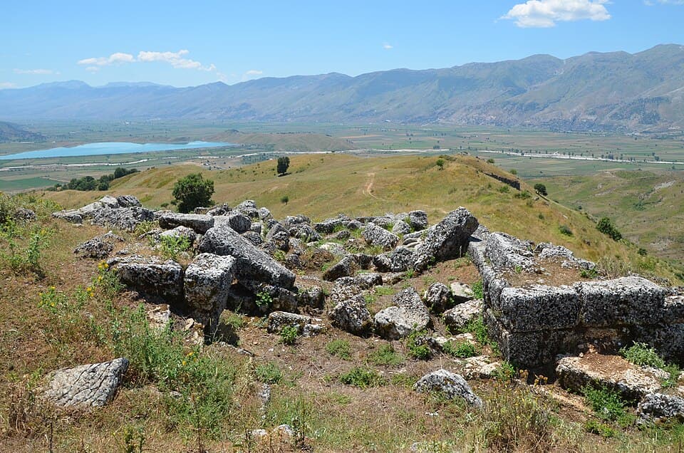
Ancient city of the Chaonians, just south of Saraqinisht near Gjirokastër; the site is a national archaeological park.
Photo: Carole Raddato from Frankfurt, Germany, CC BY-SA 2.0 (Wikimedia Commons)
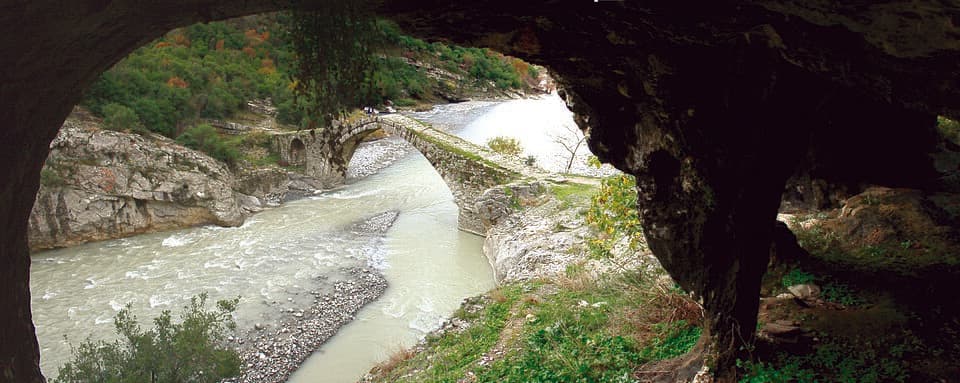
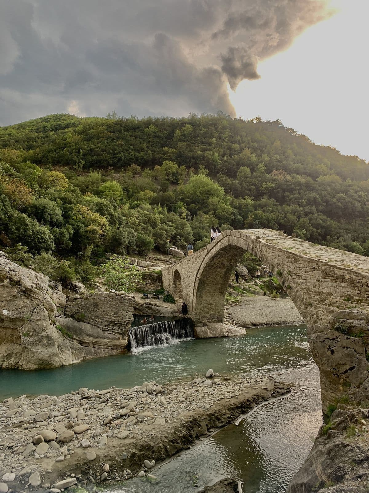
Single-arch Ottoman bridge at the entrance of Bënjë village, over the stream that runs to the Lengarica; a Category I cultural monument, next to the Benjë thermal baths.
Photo: IsmailGagica, CC BY-SA 4.0 (Wikimedia Commons)
Three-arched Ottoman-style bridge below Lazarat, built around 1820 to link Gjirokastër, Libohovë and Ioannina; still the only crossing in the Drino valley there.
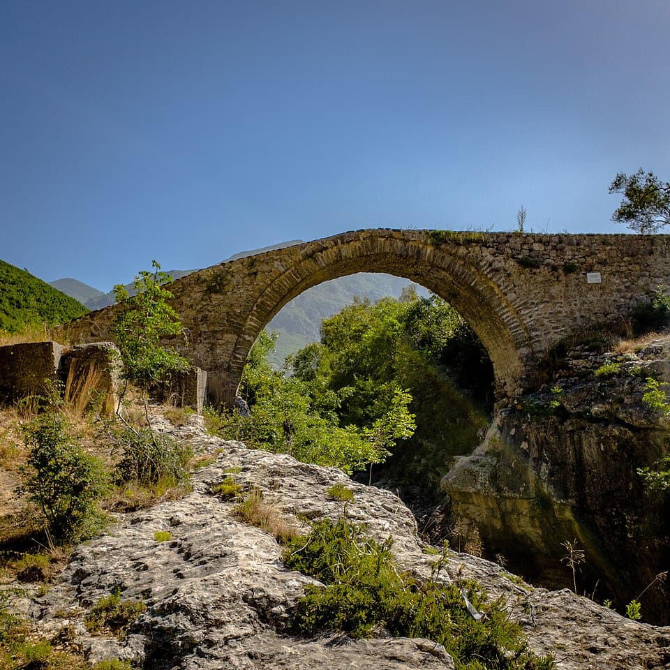
Early-18th-century stone arch bridge over the Tirana river below Brrar village, once on the caravan route out of Tirana.
Photo: Fatjon Lika, CC BY-SA 4.0 (Wikimedia Commons)
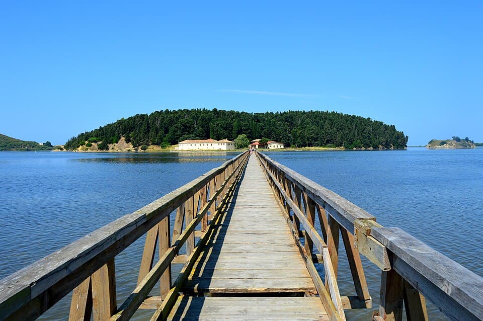
Monastery on pine-covered Zvërnec island in the Narta Lagoon, reached by a 270 m wooden footbridge.
Photo: Flladina Zilja, CC BY-SA 4.0 (Wikimedia Commons)
Beaches and boat-only bays are on /albania/hidden-beaches.
Photos from the linked guide pages or Wikimedia Commons, credited on each card and on the credits page. /credits